Mill Creek Monitoring Program – Puslinch Township
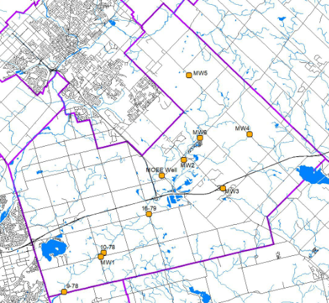
Harden Environmental has maintained a groundwater level monitoring program in Puslinch Township since 1998. The program commenced in 1989. Hydrographs depicting historical groundwater elevations throughout Puslinch Township can be viewed by clicking on the monitors in the map below. The hydrographs are updated following each monitoring event.
Puslinch Township Monitoring Program Interactive Map
(click monitors for updated hydrographs)
For more information on Mill Creek visit the GRCA website by clicking below:
![]()